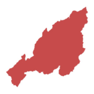
Capital : Kohima
Statehood : 1 December 1963
The state was formed from Assam in 1963.
Area : 16,579 km2
Nagaland is the 26th largest state by area.
Population : 19+ Lakhs
Based on 2011 census, population in Nagaland is more than 19 Lakhs and ranks 25th position. Therefore the population density is 119 persons per square kilometer.
Language : English
Number of Districts :12
Below are the districts in Nagaland:
- Dimapur
- Kiphire
- Kohima
- Longleng
- Mokokchung
- Mon
- Peren
- Phek
- Tuensang
- Wokha
- Zunheboto
- Noklak
Vehicle registration code: NL
Literacy rate : 80%
According to 2011 census, Nagaland stands 8th in literacy rate among states.