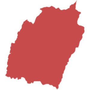
Capital : Imphal
Statehood : 21 January 1972
Manipur was an union territory till it was declared as state in 1972.
Area : 22,327 km2
Manipur is the 24th largest state by area.
Population : 25+ Lakhs
Based on 2011 census, population in Manipur is more than 25 Lakhs and ranks 24th position. Therefore the population density is 130 persons per square kilometer.
Language : Meitei
Number of Districts :16
Below are the districts in Manipur:
- Bishnupur
- Chandel
- Churachandpur
- Imphal East
- Imphal West
- Jiribam
- Kakching
- Kamjong
- Kangpokpi
- Noney
- Pherzawl
- Senapati
- Tamenglong
- Tengnoupal
- Thoubal
- Ukhrul
Vehicle registration code: MN
Literacy rate : 79%
According to 2011 census, Manipur stands 9th in literacy rate among states.