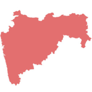
Capital : Mumbai, Nagpur
Nagpur is the winter capital of Maharashtra.
Statehood : 1 May 1960
The state was split from the Bombay state in 1960.
Area : 307,713 km2
Maharashtra is the 3rd largest state by area.
Population : 11 + crores
Based on 2011 census, population in Maharashtra is more than 11 crores and ranks 2nd position. Therefore the population density is 370 persons per square kilometer.
Language : Marathi
मराठी
Below are the letters in Marathi:
अ आ इ ई उ ऊ ए ऐ ओ औ अं अः अॅ अॉ
क ख ग घ ङ
च छ ज झ ञ
ट ठ ड ढ ण
त थ द ध न
प फ ब भ म
य र ल व
श ष स
ह ळ
क्ष ज्ञ
Number of Districts : 36
Below are the districts in Maharashtra
- Ahmednagar
- Akola
- Amravati
- Aurangabad
- Beed
- Bhandara
- Buldhana
- Chandrapur
- Dhule
- Gadchiroli
- Gondia
- Hingoli
- Jalgaon
- Jalna
- Kolhapur
- Latur
- Mumbai City
- Mumbai Suburban
- Nagpur
- Nanded
- Nandurbar
- Nashik
- Osmanabad
- Palghar
- Parbhani
- Pune
- Raigad
- Ratnagiri
- Sangli
- Satara
- Sindhudurg
- Solapur
- Thane
- Wardha
- Washim
- Yavatmal
Vehicle registration code: MH
Literacy rate : 82%
According to 2011 census, Maharashtra stands 5th in literacy rate.
