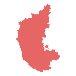
Capital : Bangalore
Bangalore is officially known as Bengaluru.
Statehood : 1 November 1956
The state was originally known as Mysore state and was renamed in the year 1973.
Area : 191,791 km2
Karnataka is the 7th largest state by area.
Population : 6.1 + crores
Based on 2011 census, population in Karnataka is more than 6.1 crores and ranks 8th position. Therefore the population density is 320 persons per square kilometer.
Language : Kannada
ಕನ್ನಡ
Below are the letters in Kannada:
ಅ ಆ ಇ ಈ ಉ ಊ ಋ ಎ ಏ ಐ ಒ ಓ ಔ
Number of Districts : 30
Below are the districts in Karnataka
- Bagalkot
- Ballari
- Bangalore Rural
- Belagavi
- Bengaluru
- Bidar
- Chamarajanagar
- Chikballapur
- Chikkamagaluru
- Chitradurga
- Dakshina Kannada
- Davanagere
- Dharwad
- Gadag
- Hassan
- Haveri
- kalaburagi
- Kodagu
- Kolar
- Koppal
- Mandya
- Mysuru
- Raichur
- Ramanagara
- Shivamogga
- Tumakuru
- Udupi
- Uttara Kannada
- Vijayapura
- Yadgir
Vehicle registration code: KA
Literacy rate : 75%
According to 2011 census, Karnataka stands 16th in literacy rate.
